Aim of the project is to re-establish the active raised bog habitats and site hydrology in the areas that are influenced by drainage and to protect the raised bog habitats, plants and animals of European and Latvian importance.

Galleries

Projecy sites in 3D models

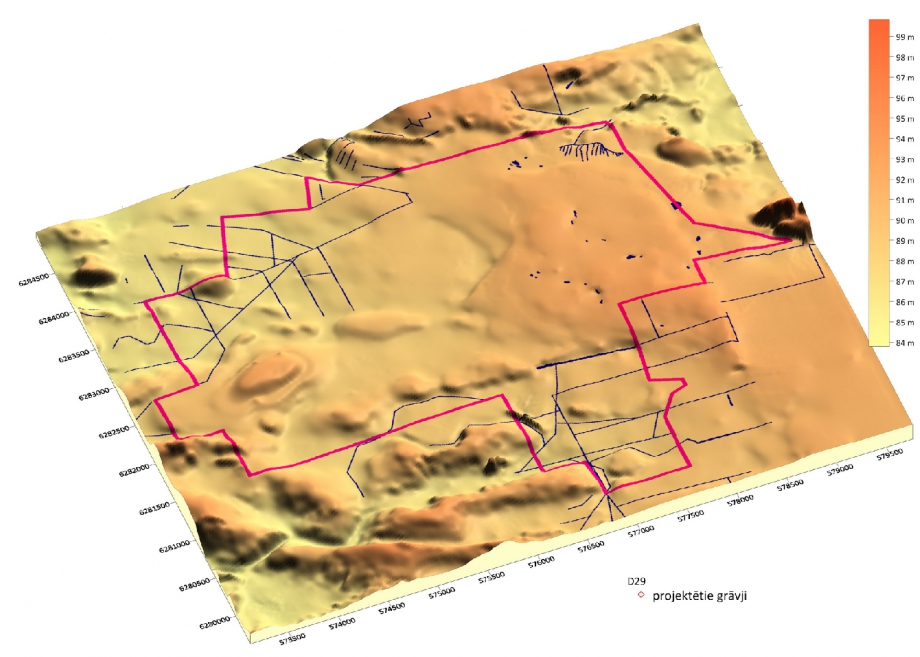
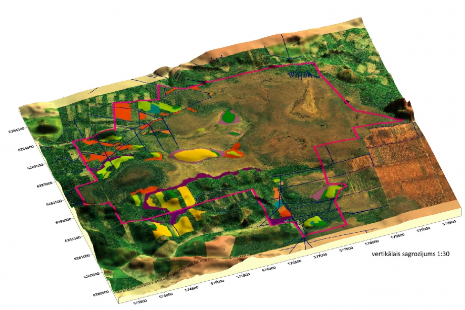
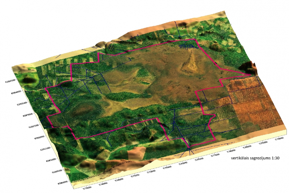
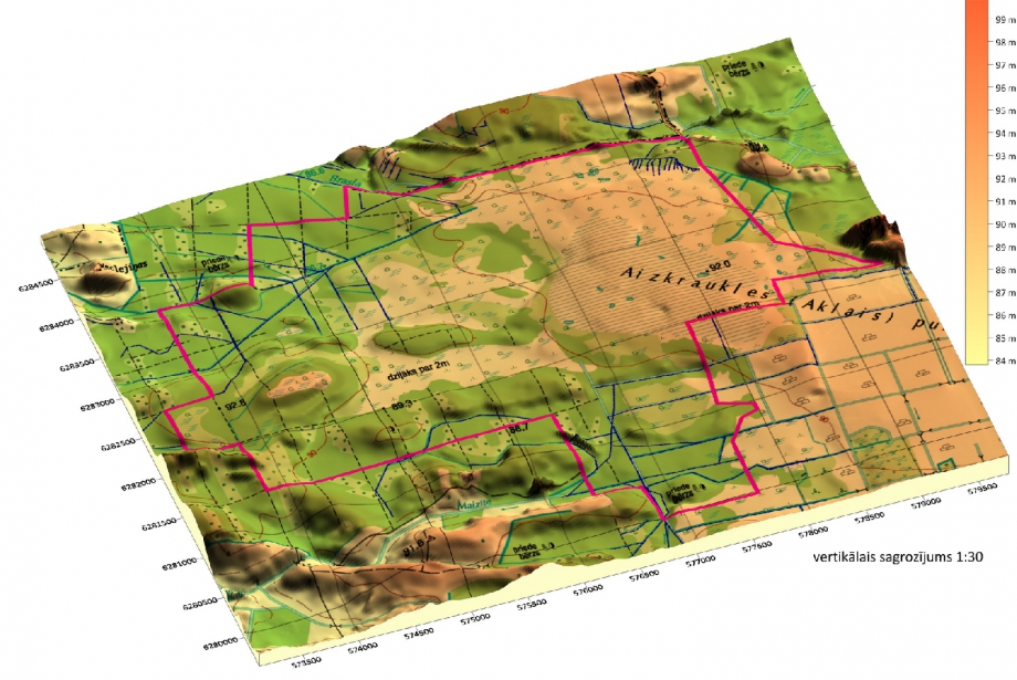
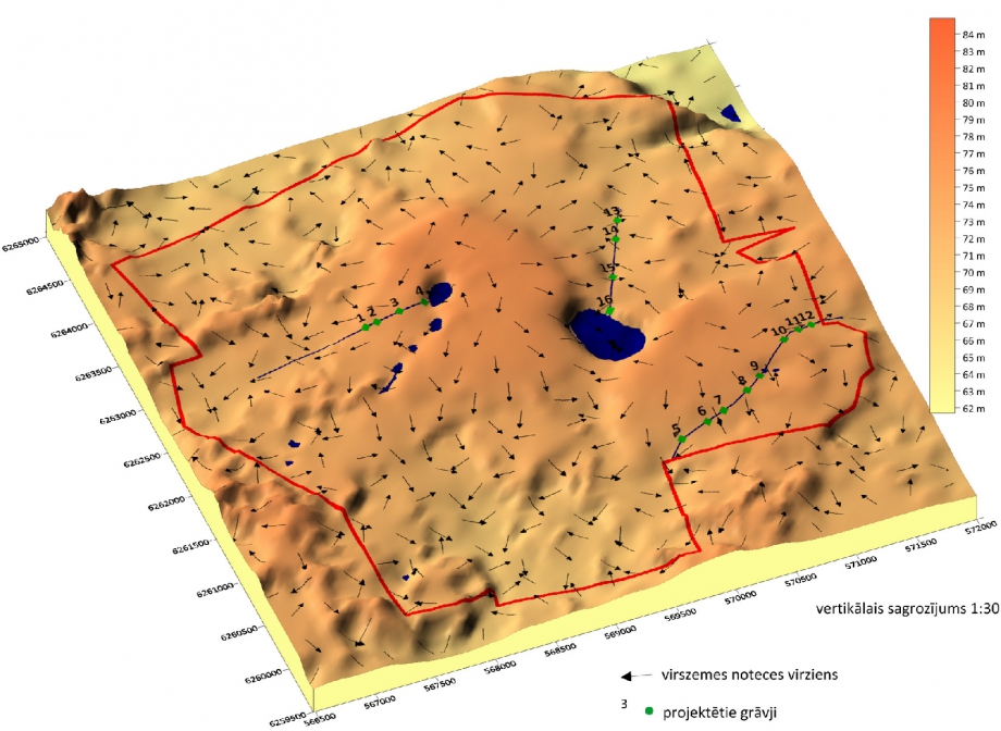
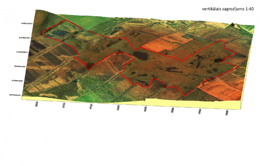
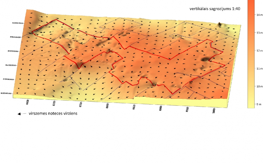
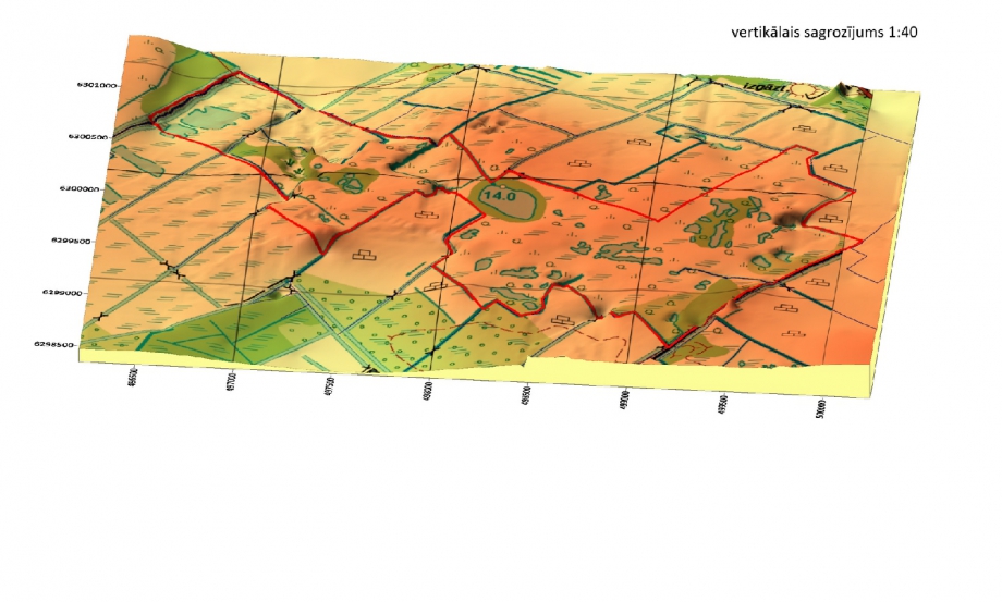
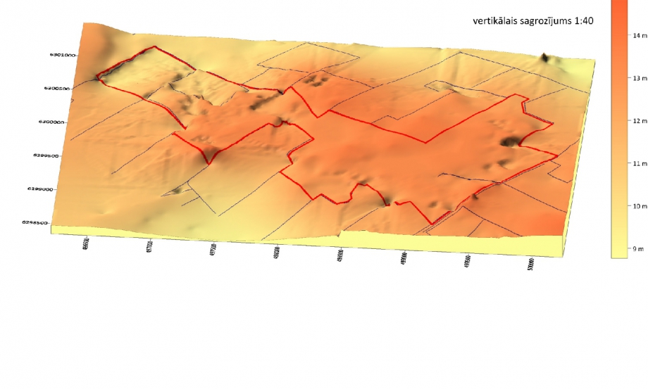
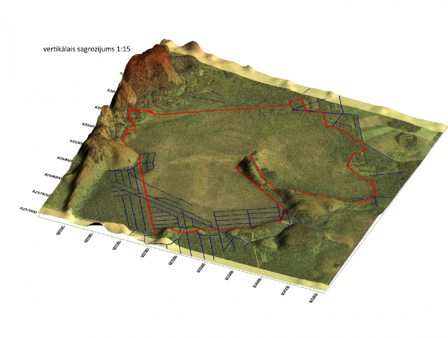
Surface elevation 3D models were prepared to visualize the Project sites and adjacent areas. The data for the models were obtained digitising former USSR army topographic maps in scale 1:10000. The irregular XYZ data were processed using Surfer software, the kriging algorithm was applied for data interpolation and extrapolation, the grid step size was 20×20 meters. The Surfer software was applied for visualization of the modelled Z values, and 3D surfaces were prepared, overlaid with topographic and orthophoto maps, as well as vector map showing surface runoff directions.


Tags

A1, A2, C1, E2

« To list

Finansed by

Raised Bogs – LIFE08 NAT/LV/000449

Project duration: 01.02.2010.- 31.08.2013.
Funding: European Commission LIFE+ programme
Beneficiary: University of Latvia
Partners: Latvian Fund for Nature, Foundation ELM MEDIA
Co-funding: Ministry of the Environment of Latvia, Ltd. Rīgas meži

Project film "Mires Uncovered"


Exhibition


Exhibition "Secrets of Mires" is traveling around! It is made by Ogre Photo Club.